![]() Welcome to Manage My Watershed, a community site where you can share knowledge and resources supporting fresh water. Manage My Watershed is part of WikiWatershed, an initiative of Stroud Water Research Center designed to help people advance knowledge and stewardship of fresh water.
Welcome to Manage My Watershed, a community site where you can share knowledge and resources supporting fresh water. Manage My Watershed is part of WikiWatershed, an initiative of Stroud Water Research Center designed to help people advance knowledge and stewardship of fresh water.
While guests can view watershed stories, freshwater stewardship tools, and forum questions, to contribute material you’ll need to register as a member.
Newest Stories
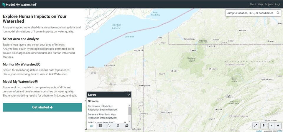
Why Model Your Watershed?
Environmental organizations and educators are finding more and more emphasis on how to protect our watersheds, monitor them, and bring ...
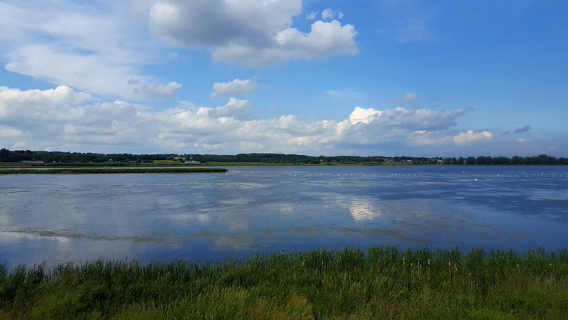
The Relativeness of Water
In the cosmology of Indigenous cultures, “water is life” holds a deeper, ancient, implicit value beyond its mainstream context ...
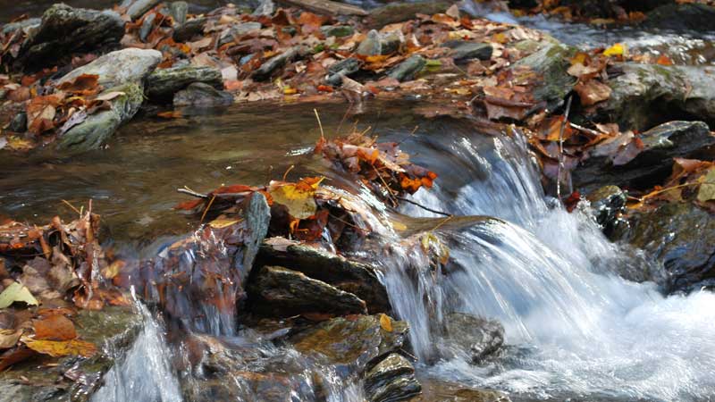
How to See a Stream: Part Two, Stream Monitoring and Impairment
What can one do to help a stream recover from pollution, protect a stream from degradation, or simply understand what ...
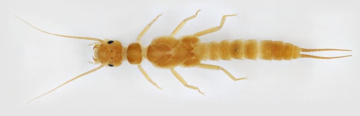
How to See a Stream: Part One, Stream Health Dynamics
Streams and the valleys they drain are complex environments. This complexity makes regulating, restoring, and protecting these aquatic systems a ...

An Interview With Pete Goodman
Wisdom and advice on watershed protection from a prodigious environmental leader you've (possibly) never heard of ...
Saving Primrose Creek
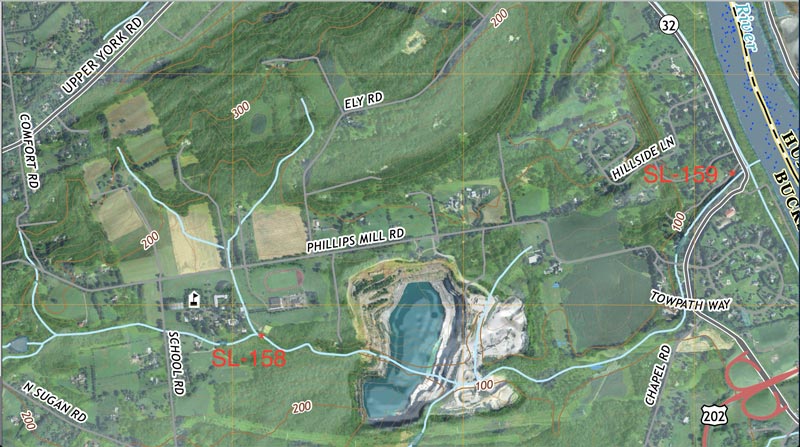
It is January 30, 2021, at 1:35 PM (UTC-5:00). In two hours, streamflow at Phillips Mill, Solebury Township, Bucks County, ...
Newest Tools
Tools for Engaging With Municipalities and the Public on Freshwater Issues
Guidance Documents The Delaware River Basin Policy and Practice Workgroup has developed guidance documents to provide foundational science references for environmental advocates collecting stream data and communicating results to local government officials. The target readership ...
Pennsylvania Watershed Organizations Interactive Map
Searching for a watershed organization near you? This online mapping tool can help you find a community watershed organization, watershed alliance, or regional partner. These organizations can help you understand watershed issues and help empower ...
USGS StreamStats
StreamStats provides access to spatial analytical tools that are useful for water-resources planning and management, and for engineering and design purposes. The map-based user interface can be used to delineate drainage areas, get basin characteristics ...

Member Activity
Steve Epting became a registered member 4 months, 3 weeks ago
Steve Epting
@septing
Charlie K commented on the post, Persistence is the Salt of Stream Stewardship 6 months, 3 weeks ago
Thankyou to Carol Armstrong for describing this situation with poorly maintained piles at risk to watersheds and waterways. I chanced on this 2 years ago as I was driving and listening to weather reports of severe […]
Charlie K became a registered member 6 months, 3 weeks ago
Charlie K
@charliekarl
ashleycarter1688 became a registered member 1 year ago
ashleycarter1688
@ashleycarter1688
Dave Bressler commented on the post, USGS StreamStats 1 year, 11 months ago
Thanks very much for this information.