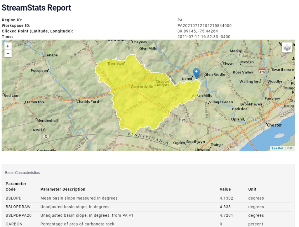
StreamStats provides access to spatial analytical tools that are useful for water-resources planning and management, and for engineering and design purposes. The map-based user interface can be used to delineate drainage areas, get basin characteristics and estimates of flow statistics, and more.
Useful statistics are provided in the Watershed Characteristics Reports such as % watershed in carbonate rock, % imperviousness, % urban land, precipitation summary stats, and topographic characteristics.

crosscanalbrook
Users of StreamStats should be aware that the data may be decades out of date. We found for our ungaged stream in NY, the data hadn’t been updated since 1999. From the scientist behind the update project, we learned the update should be completed in 2025; but also, because of the large (20 acre feet) detention pond in line with the stream, ours is an impaired stream and the StreamStats data is not valid for us.
Dave Bressler
Thanks very much for this information.